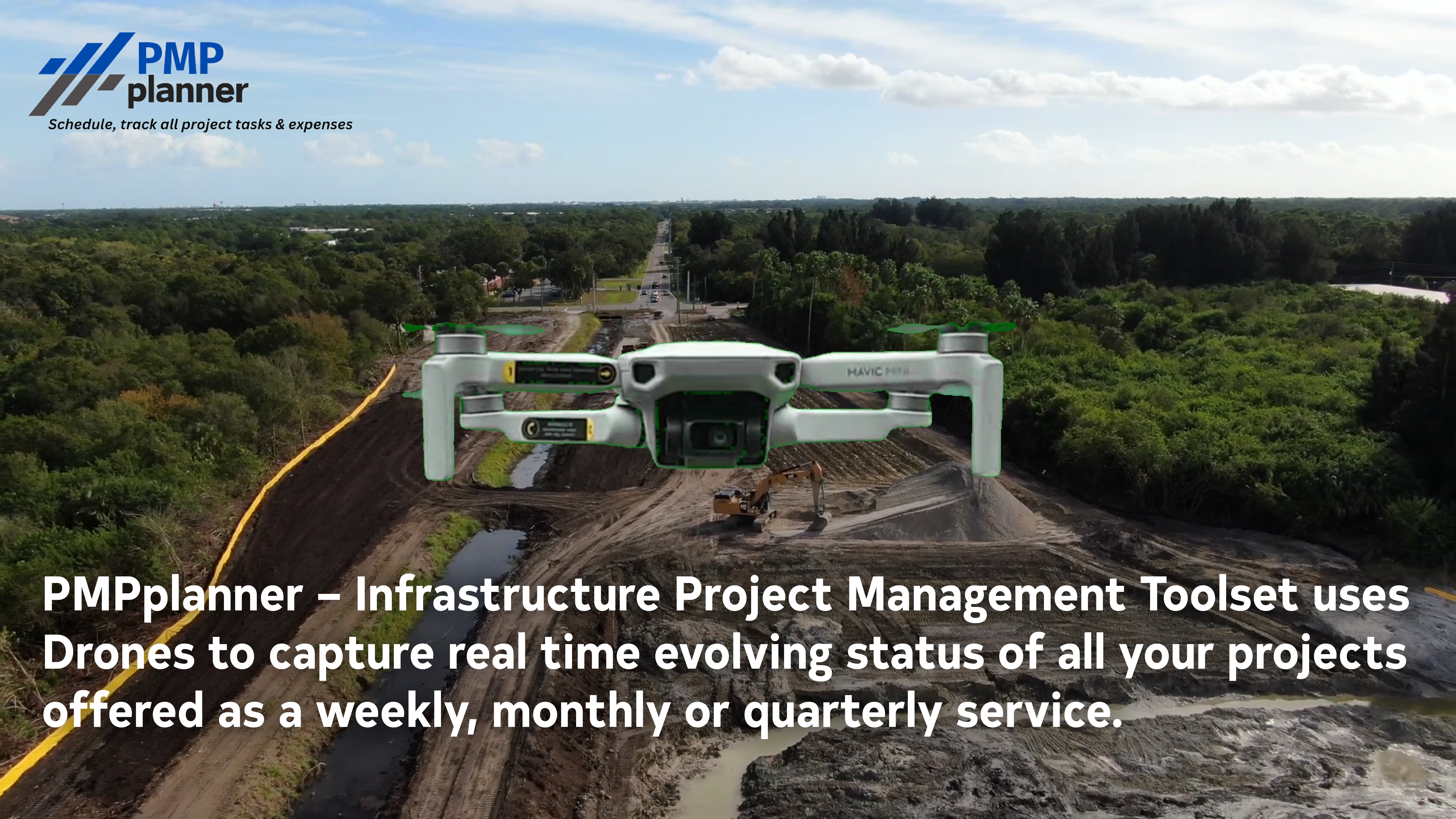
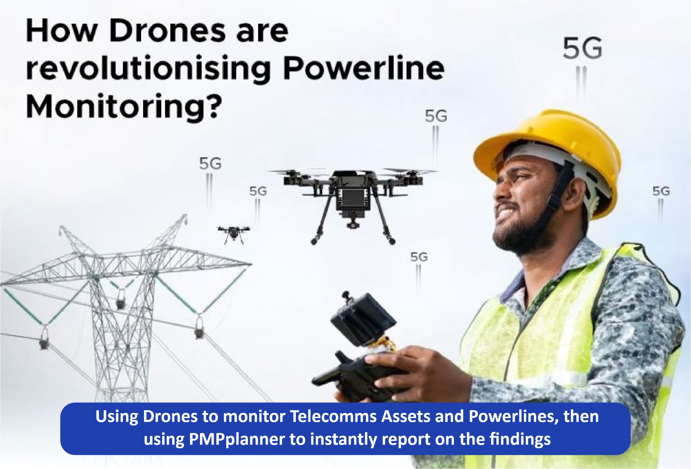
PMPplanner, Drone Monitoring and Artificial Intelligence

PMPplanner is the first project management tool to capture, process, and intelligently analyse real-time data from drones or other sources highlighting the evolving status of all Infrastructure Projects.
Images and videos can be captured via cameras, drones, or satellite feeds and used to track the status of infrastructure projects such as roads, buildings, and all other physical infrastructure projects, etc.
The image or video data together with other project information is used to generate text/visual infrastructure reports on all projects.
The drones using custom developed PMPplanner AI Modules can interpret or intelligently analyse real-time images and provide instant notification to any device via Wi-Fi in-flight.
